Laser measurement flights for three dimensional Swiss elevation model
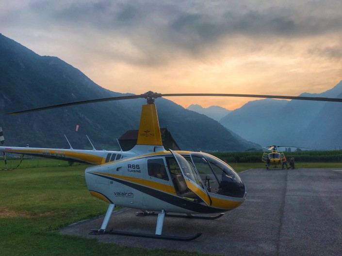
Since mid-July our R66 HB-ZTL is performing measurement flights in Ticino.
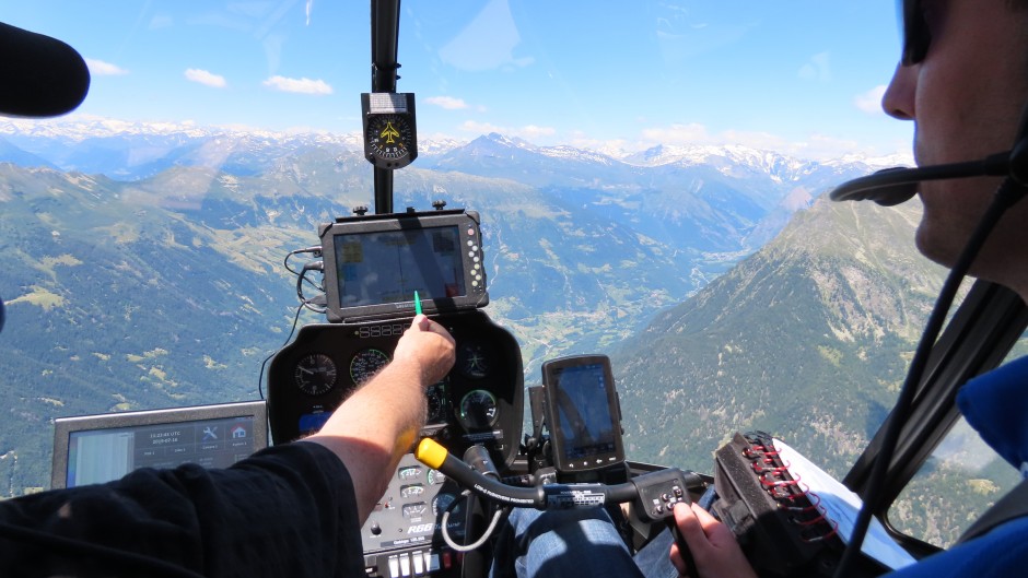
The R66 is equipped with a high-resolution laser scanner (LIDAR). A rotating laser-scanner scans the underlying terrain and, by measuring the run time, determines the elevation above ground. From the wealth of collected data, a high-resolution digital elevation model for swisstopo is derived.
The individual flight paths to be flown are 512m apart from one another and have a length of up to 46km. The pilot flies the helicopter between 600m and 1’800m above the Alps of Ticino up to an altitude of 4’100m. This requires steep climbs and descends. The pilot needs to maintain exact flight parameters, such as course, altitude and airspeed for up to 7 hours per day with good weather conditions.
A challenging mission for both pilot and machine. The Robinson R66 proves to be an ideal platform with impressive performance, despite high temperatures in a high alpine environment.